The Flood Zone Recalibration: How FEMA Risk Rating 2.0 Escalates Monthly Escrow Requirement
The Summary
Federal updates to flood insurance pricing, known as FEMA Risk Rating 2.0, now use satellite models to estimate your property risk. This change often overestimates your home's ground height, triggering automatic 18% annual premium increases that drain your monthly escrow account. Submitting a physical elevation certificate corrects these errors and secures a lower, stable rate.
The Escrow Shortage: How Satellite Estimates Inflate Your Premiums
Homeowners across the country are seeing sudden, compounding increases in their monthly mortgage payments. These jumps come straight from annual escrow adjustments caused by FEMA Risk Rating 2.0, a federal update to flood insurance pricing. Instead of using broad neighborhood averages, the pricing system now evaluates risk for each specific house. For primary homes, federal rules limit rate increases to 18% per year. However, that 18% increase repeats every single year until your policy reaches its calculated maximum rate. Median premiums in some coastal communities have risen from historical levels of $992 up to $1,725 per year. More than 75% of policyholders are currently on this upward path. Each rate hike increases your monthly escrow withholding, taking hundreds of dollars out of your family budget year after year.
You can stop these automatic yearly increases by correcting the property data used to calculate your rate. Getting a physical land survey, specifically a FEMA Elevation Certificate, gives you direct mathematical protection against these rising costs. When you give an elevation certificate to your insurance agent, federal guidelines require the insurer to calculate your premium using two methods: their satellite estimate and your physical survey numbers. The insurer must give you whichever rate is lower. Submitting an elevation certificate has zero financial downside, because federal rules prohibit an insurer from using your survey to raise your rate above their automated estimate.
Why Your Specific Premium Is Jumping
The main reason for this price shift is how property risk is measured today. In the past, flood insurance relied on broad zone maps that grouped whole neighborhoods together. Now, those maps only decide if your mortgage company requires you to carry a policy. The exact dollar amount you pay is based on your specific structure and its exact location. The system measures the precise distance from your foundation to the closest body of water. Because of this change, two homes on the same street can have very different annual bills. Nationwide, while individual extremes can range from $100 up to more than $31,000 per year based on severe localized structural measurements, average annual costs remain focused on property specific structural risks.
Distance to water is only part of the calculation. The pricing formula also factors in the physical construction of your house. The estimated cost to rebuild your home sets your baseline price, which means larger structures carry higher starting premiums. Foundation types also make a significant financial difference. Homes built on concrete slabs tend to receive the lowest rates, averaging between $350 and $500 per year in sample areas. Homes with basements face much higher costs, often starting near $968 per year because below ground living areas face higher risks from water intrusion. These physical building traits determine what you owe each month.
The Problem With Automated Satellite Data
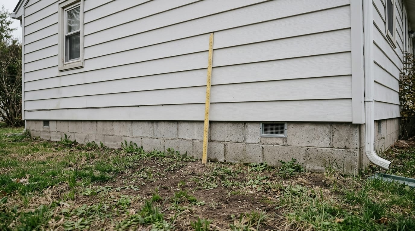
The biggest risk to your monthly budget is how computer models estimate the height of your ground floor. Instead of sending an inspector to measure your property, the system relies on satellite imaging to estimate the distance between your first floor and potential flood levels. This automated process often causes errors. Satellites struggle to read actual ground height when properties sit on filled soil, gentle hillsides, dense tree canopies, or custom foundations.
When computer models underestimate your true ground elevation, they calculate your risk as higher than it actually is. That incorrect baseline places your policy on the 18% annual escalation track. Taking action to correct your insurance rate protects your home equity. High monthly escrow payments create a severe drag on household cash flow. Future home buyers also review total monthly housing costs when calculating what they can afford. Rising insurance premiums reduce buyer purchasing power and constrain overall property valuations. A property carrying a $2,847 annual insurance bill costs more to own each month than a comparable home with verified lower hazard costs.
Using an Elevation Certificate to Lower Your Rate
Correcting an inaccurate satellite estimate involves a simple financial calculation. Hiring a licensed surveyor to measure your property usually costs several hundred dollars. If your home sits higher off the ground than the satellite estimated, submitting that survey can drop your insurance bill by $500 to $2,000 per year. In most cases, the first year of savings pays for the cost of the surveyor.
More importantly, an elevation certificate resets your baseline premium to a lower starting number. This halts the compounding 18% yearly rate increases. Setting the right baseline stops artificial price inflation and keeps your monthly mortgage payment steady. This verification step prevents sudden escrow deficits. Mortgage lenders review escrow accounts once a year, and unexpected insurance hikes cause steep adjustments to your monthly payment.
Sending the updated survey to your insurance carrier well before your policy renewal date ensures the lower rate applies before your lender finishes their yearly escrow review. This stops your servicer from raising your monthly mortgage payment and protects you from receiving a sudden bill for an escrow shortage. Tracking this renewal schedule is a practical step for homeowners who want stable, predictable housing costs.
Finding Existing Survey Records at Zero Cost
In many situations, you don't need to hire a surveyor to get this documentation. You can often track down existing physical survey records for free. Your first step should be contacting your local municipal building department and the community floodplain administrator. These local government offices keep public records and often have the original elevation certificates submitted when the home was built.
You can also contact the home builder to ask if their records department has a copy of the original survey. Getting a copy of an existing document gives you the exact same insurance discount without any out of pocket expense. Checking public records at your city or county building office is a fast step that can protect your long term equity.
Additional Ways to Lower Your Monthly Payment
Beyond checking your elevation data, you can use other straightforward steps to reduce your annual payment. Changing your policy deductible offers an immediate way to lower costs. Increasing your deductible to the maximum allowed limit can decrease your annual premium by up to 40%. You should verify your mortgage agreement before making this change, because lenders establish rules on maximum allowable deductibles. Any dollar saved on insurance reduces your monthly escrow collection.
Private flood insurance options have grown considerably alongside federal updates. In many housing markets, private policies cost 9% to 35% less than government backed plans for lower risk properties. Comparing private insurance quotes gives you another path to stabilizing your monthly housing expenses. Private companies use distinct risk calculations and do not carry federal program debt, which often lets them provide lower prices for homes outside high risk zones.
Predictable Carrying Costs for the Long Term
The shift to individualized property pricing is a permanent change in how insurance risk is determined. Projections indicate that the federal program will continue adjusting rates through 2037 until policies reach full risk based pricing. Because of this, compounding yearly increases will remain a factor in housing affordability for years to come.
Homeowners cannot depend on outdated neighborhood maps or automated satellite models to reflect their real property conditions. Checking the physical data behind your rate helps you maintain control over your monthly budget. Verifying your true foundation height and providing clear survey documentation limits your insurance expenses. Using accurate ground measurements replaces guessing with fixed, predictable carrying costs, making sure your monthly mortgage payment reflects the physical reality of your home rather than an inaccurate satellite reading.
FAQs
Estimated Property Valuations are Automated Valuation Models (AVMs) built directly from comparable sales, local market trends, and specific physical property characteristics. Like any standard AVM, they carry a natural margin of variance and should always be used as a directional data point alongside professional real estate guidance.
FEMA Risk Rating 2.0 shifts flood insurance pricing from broad neighborhood maps to individual property estimates using satellite data. If the automated system overestimates your risk, your policy faces 18 percent annual rate increases. These repeating premium hikes directly increase your required monthly mortgage escrow payments.
Yes, an elevation certificate provides physical proof of your actual ground height. Federal guidelines require insurance companies to compare this physical survey against their automated satellite estimate and give you the lower price. This straightforward step stops automatic yearly increases and stabilizes your monthly housing costs.
Property level catastrophe modeling uses satellites to measure the exact distance from your foundation to local water sources. Because satellites struggle reading through tree canopies or filled soil, they frequently miscalculate true ground height. This error artificially inflates your risk profile and increases your insurance carrying costs.
The Core Takeaway
Selling acreage with an agricultural tax discount can trigger a massive retroactive penalty called a rollback tax. If the buyer changes the land's use, the county demands three to five years of back taxes plus interest. This unexpected $12,000 to $35,000 penalty drains
The Summary
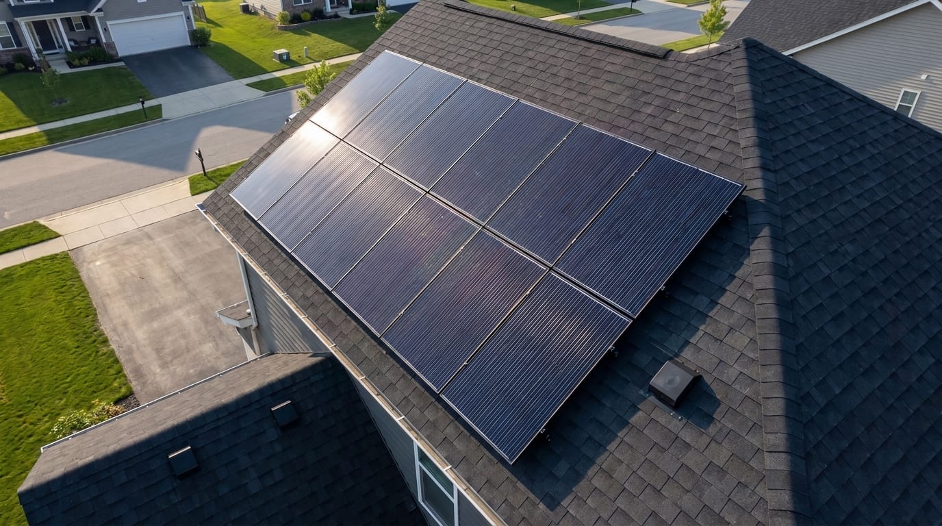
When you buy a home with leased solar panels, you inherit the previous owner's third-party debt, not an equity-building asset. These Power Purchase Agreements (PPAs) trigger UCC-1 fixture filings that act like liens, severely tightening your Debt-to-Income limits and causing major
The Core Takeaway
If you sell a home in a state that bills property taxes in arrears, you must credit the buyer at closing for the days you lived in the home during the unbilled tax period. Because the final county tax bill is unknown at settlement, standard real estate